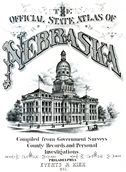
1885 Nebraska State Atlas
This online version of the atlas has been provided for educational/informational purposes only and should not be relied upon for navigation, surveying, etc.
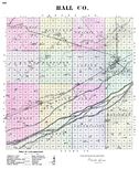
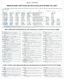
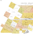
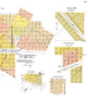
The pages relating to Hall County have been included here.
The atlas was scanned from an original copy in the collection at the Stuhr Museum of the Prairie Pioneer.
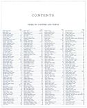
A name index compiled from data provided by the Nebraska State Historical Society is available for searching. If you would like to download the Hall County name index in printable format, click here.
1885 Nebraska State Atlas Name Index Search
(searches Hall County names only)
Explanation of the image formats available:
| Low resolution Adobe Acrobat PDF file. | |
| Medium resolution Adobe Acrobat PDF file. | |
| High resolution Adobe Acrobat PDF file. | |
| High resolution JPEG2000 file download. |
The images provided on this site were scanned from printed maps published before 1923, Hall County is providing access to these materials for educational and research purposes and is not aware of any U.S. copyright protection (see Title 17 of the United States Code) or any other restrictions.

.png)

 Twitter